I don’t watch TV very much at all and when I do, it is usually something streamed from Netfilix or a sporting event, so I have no idea if the storm for the second half of this week is being hyped yet or not, but if not, and it is still in the model runs tomorrow, get ready for ridiculous hype! I’m not going to get into the full details, I’ll save that for the forecast tomorrow, but the models do differ in their timing and placement of the snow. The European Model has the snows arriving around midnight Wednesday night in IA, MN, WI and the UP and explodes the low into an extremely strong and quite massive entity. It would also keep snows flying across the upper Great Lake into Christmas evening. Here is the snowfall outlay it currently has.
The GFS has the snow arriving in IA and S. MN during the day on Thursday and then into IL, the SE 1/2 of WI and much of lower MI overnight Thursday. As you can see from it’s snowfall outlay forecast, the heaviest amounts would be much further south.
I can say that the European picked up on the storm first, but both models have been sticking to their guns as to the track and timing. So I really do not have a reason to side more strongly with than the other, but I know I would LOVE for the European model to verify. 44″ in the 4 days ending Christmas evening. Yea, that would be nice!!! You can see that some areas the model has getting close to 50″ of new snow. The heaviest totals (in the brighter colors) would come the result of lake enhanced system snow as well as pure lake effect. Another think to point out is the fact that the Chicagoland, NW IN and western lower MI are all indicated to get hammered in either idea.
As I almost always say when the models are at odds, it’s a wait and see game and entirely possible that neither solution will pan out. However, I do think the odds on the storm happening in one shape or another is pretty good. So it will be all eyes on deck tomorrow morning and then all hands on deck once we know where the storm is going to hit worst! I just love when the weather is in this predicament, I don’t get all buggered up about hurricanes or tornados, but a nice big old winter time mid-latitude cyclone (winter storm) really gets my blood pumping! It’s why I became a meteorologist!
Believe it or not, I don’t have too much more to say. We got missed like you would not believe by the storm that impacted so much of the rest of the northern Midwest. It did not come as a surprise to me, but other forecasts were very ambitious with the snows for the Keweenaw and had the whole town thinking that schools would be closed and travel difficult, etc. It was almost as if there was a wall circling us. The first wave of heavy snow came up from the north and was taking aim on us, but then curved to the west and pounded NW WI and northern MN. The second fell apart before it got to us and the final wrap up to the storm had us in its eye, with snowbands spinning like a merry go-round. We did get into some lake effect Saturday and Saturday night, with a general 3-6″ falling in most areas and Jake picking up around 2.
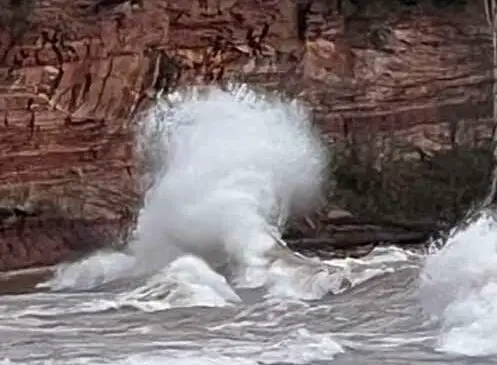
The storm did generate some very strong winds, which got the big lake all riled up. It’s hard to tell from the pictures, but the biggest sets contained waves that were around 8-10 feet tall. About the biggest I have seen down here since we moved here. It was cool to watch them smash into the sandstone cliffs and then bounce back and smash into each other. The lighthouse also looked cool, standing there in defiance of all the nasty conditions going on around it.
We are still without our high speed internet. The good news is that two smaller adapters have come already and the main unit is on its way. It should be here by late tomorrow or late Tuesday. I say late because our FedEx delivery guy does not usually show up until around 6-8pm. Once the new satellite and receiver arrive, then the Snow Church videos can resume and I will have a live streaming AlCam!
I am very glad that the new system is on it’s way and will be here soon. I have just about burned up my 50 mb of hotspot data! Grace ate hers up in just one night gaming, poor girl did not even know she was doing that. Nora phone has also been depleted of her hotspot data. I can say that if my hotspot data is all used up before the dish is here, I will go to a place with free wifi to do my forecasts. No way I am going to be missing with a possible monster bearing down!
Seems hard to believe that in just one week, Christmas will be in its final hours and in two weeks it will be the new year! I think the lack of snow up here seems to make it feel more like early December than the second half. As I always say, things can, and usually do, change in a hurry up here when it comes to snowcover!
Good Night from the Keweenaw..
-JD